Posts

Showing posts with the label erosion

Colorado National Monument - Austere Beauty

Image
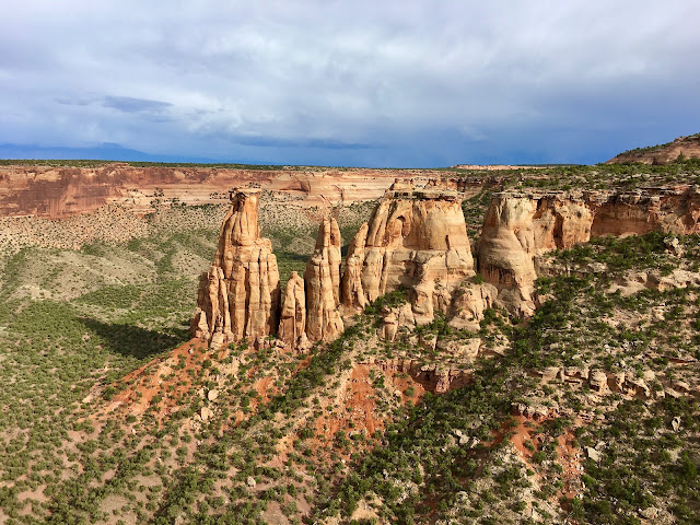
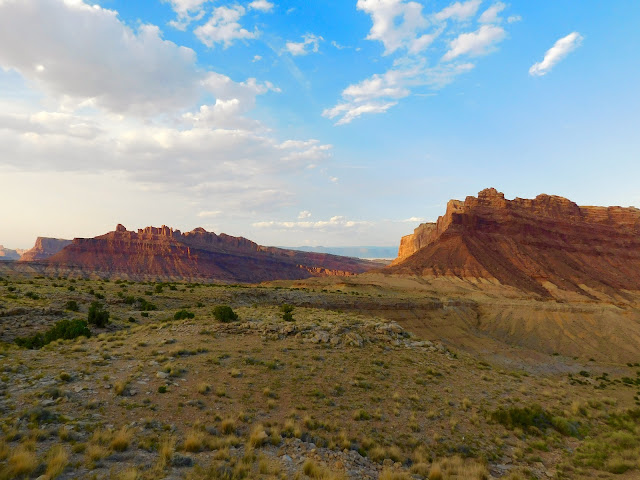
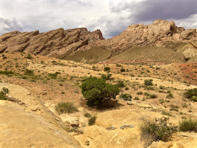
Colorado National Monument Out in western Colorado, the steep, northern wall of the Uncompahgre Plateau falls away into the Grand Valley of the Colorado River. Erosion has shredded this leading edge of orange sandstone, designing a labyrinth of extraordinary canyons. Wind, water, ice and an infinite amount of time have combined forces to create a natural sculpture garden in the high desert. From the lofty Grand View Overlook, the floor below is decorated with rock chimneys, arches, spires, towers and coke ovens. Granted special status in 1911, Colorado National Monument preserves a unique piece of the American West and protects a surprising variety of wildlife. Desert bighorns, bobcats, coyotes, mountain lions, lizards, rattlesnakes and rock wrens are a few of the species who call this place home. During an evening hike on the heels of a passing Spring storm, beams of soft light come streaming through the steel-gray clouds. While following a broken trail that skirts the chas

San Rafael Swell - An Undiscovered Natural Wonder

Image
The San Rafael Swell “As we approached the river yesterday, the ridges on either side of its banks to the west appeared broken into a thousand forms - columns, shafts, temples, buildings, and ruined cities could be seen, or imagined, from the high points along our route” ~ John Williams Gunnison, 1853 Gunnison had arrived in Mormon Territory, leading a survey team in a futile attempt to chart a route through unforgiving land for the transcontinental railroad. They had followed the Spanish Trail and just crossed the Green River before encountering the remarkable San Rafael Swell. Unable to find a plausible passageway through the maze of cliffs, spires and slot canyons, the dogged crew skirted the barrier and headed west. Soon after leaving the swell, things turned tragic as Gunnison and his group were attacked by Pahvant Indians on 26 October 1853 while camped beside the Sevier River. Gunnison and seven of the eleven men in his party were massacred. Today, the uninhabited reg

Utah

Image
Utah Blessed with untamed rivers, deep canyons and green mountains, the state of Utah is celebrated for its diverse scenery. Established on a painted desert, the topography transitions dramatically up to the lofty Wasatch Mountain Range. The winding waterways rush towards the southwest while carving surreal chasms out of an uplifted plateau. Heavily eroded by wind and water, the unique landscape is littered with an interesting array of arches, pinnacles and hoodoos. I enjoy wandering around our local foothills and I could spend a lifetime exploring the vast Rocky Mountains. I must admit, though, that the territory to our west has definitely cast a spell. Our home is Colorado but my second favorite state is magical Utah.

The Great Sand Dunes - A Surreal Landscape

Image
The Great Sand Dunes Earlier this summer, curiosity propelled us to go investigate The Great Sand Dunes National Park. On the way there, I was struck by the desolation of the high desert region known as the San Luis Valley. The dunes first appear as a small, pink band sprawling out humbly beneath the jagged, blue peaks of the impressive Crestone Needles. Not until you arrive at Medano Creek do the tallest sand dunes in North America begin to flex their muscle. It's a surreal landscape and the sheer scale of the dunes is breathtaking. It took more than 400,000 years for nature to sculpt this masterpiece. Water, wind and sand are the ingredients of a process that continues to this day. Sand from the river flood plain are picked up by strong, westerly winds. The tiny particles are deposited in a pile against the foothills. Zebulon Pike is credited with the first written account of the dunes. In 1807 he wrote, "Their appearance was exactly that of the sea in a storm, except